


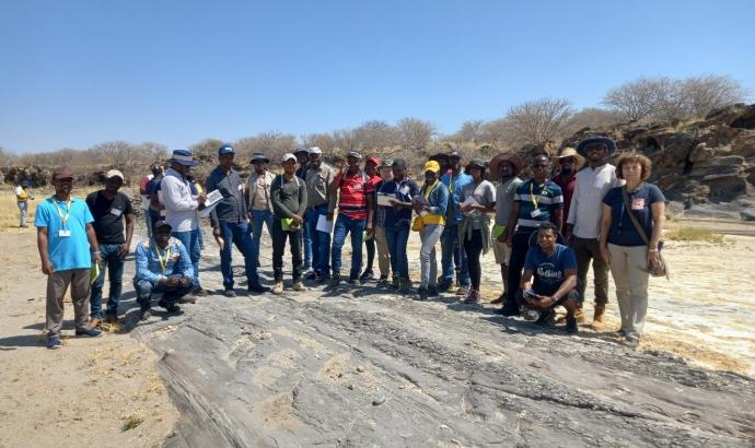
The Work Package A (WP A) training in Namibia, under the PanAfGeo International Project, is set to open the second phase of the "Field Geoscientific Mapping" programme in Namibia. The training started on 31 August and will continue until 28 September and will take place in Etusis, Karibib and Windhoek. PanAfGeo says this phase of the training will focus on the intense practical teaching of the petrological, structural, geophysical, and geochemical methods required for the construction of geological maps on different scales. An important role in the mapping process is played by remote sensing and Geographic Information System (GIS) approaches, which form a major part of the theoretical training segments. The 28-day programme, includes field excursions, demonstration, practice in instrumental methods and mapping. 25 trainees representing 13 African countries accompanied by junior staff members of the e Geological Survey of Namibia (GSN) are being trained.