


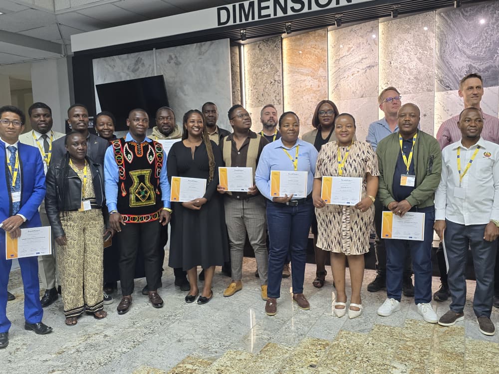
Eighteen participants from 13 African countries have completed an international geoscientific mapping training course in Namibia.
Participants came from Botswana, Cameroon, Congo, Ghana, Kenya, Madagascar, Mozambique, Namibia, Nigeria, São Tomé and Príncipe, Eswatini, Zambia, and Zimbabwe.
The 26-day training focused on skills in geological mapping such as field data collection, geological structures, geochemistry, geophysics, and remote sensing.
The leader of PanAfGeo, Prague Stedra, said the training was to assist participants with field practical exercise.
“This was training in geoscientific field mapping. We trained geologists from different African geological surveys to further develop their field-mapping skills, which are very important for every geological survey. These skills are essential for gaining control and context of the different elements connected with the geology of their respective countries.”
Fieldwork was conducted in northern Namibia around Epupa, Swartbooisdrift, and Opuwo.
The training was conducted by the Geological Survey of Namibia and geological institutions from Europe and Africa, with support from the European Union.
Some of the participants described the training as informative.
“Some of these vital skills, such as taking structural readings and identifying different rock types that you may not have in your country, tend to be forgotten. So, this training presented such an opportunity. Namibia has a vast geological setting that can provide us with all different types of rocks. In that way, we were able to refresh our skills,” said Vincent Lekula.
“I understood why remote sensing is important, including why you need to understand your marks, how to interpret them, and when to apply that knowledge before going into any field-mapping experience. This involves a lot of data interpretation and understanding why you want to conduct field mapping in the first place,” added Elizabeth Akinyi.